
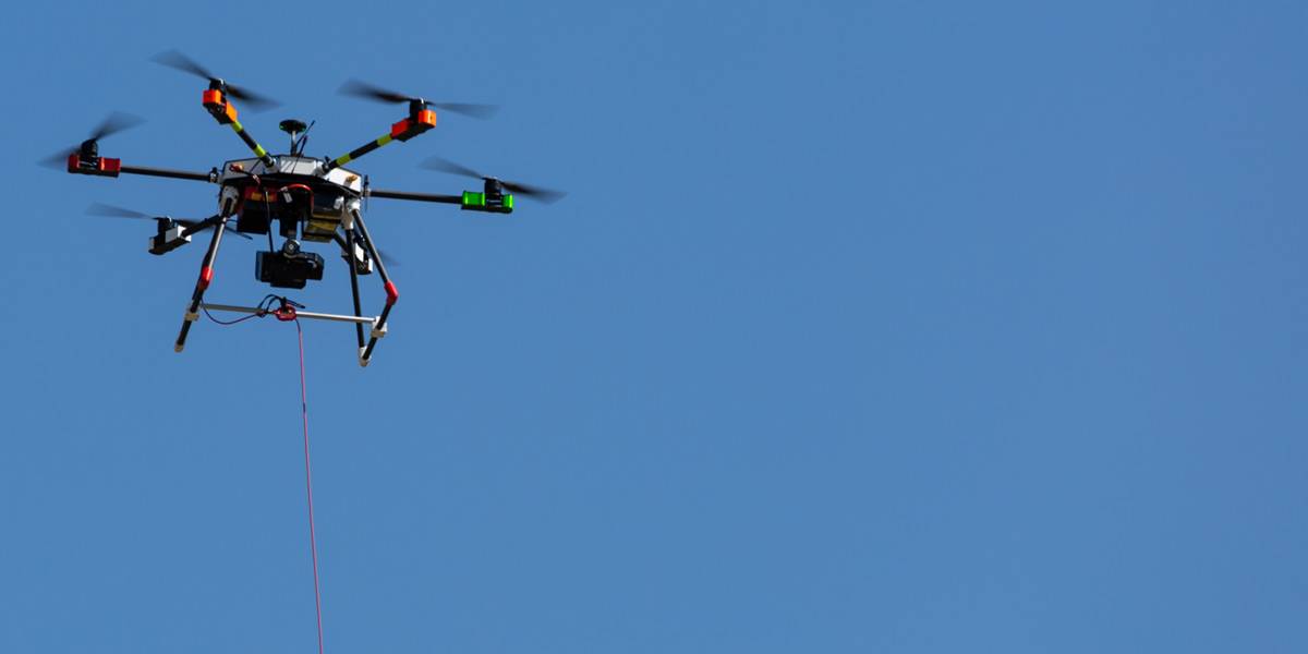
Automated drone flights
Remote control of drones
Easy operation – Short learning curve
Supporting evaluation of sensor data
Distribution of drone data in the system
Automatic flight log


BOS
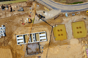
Site Monitoring

Site Security / Plant Security

Documentation

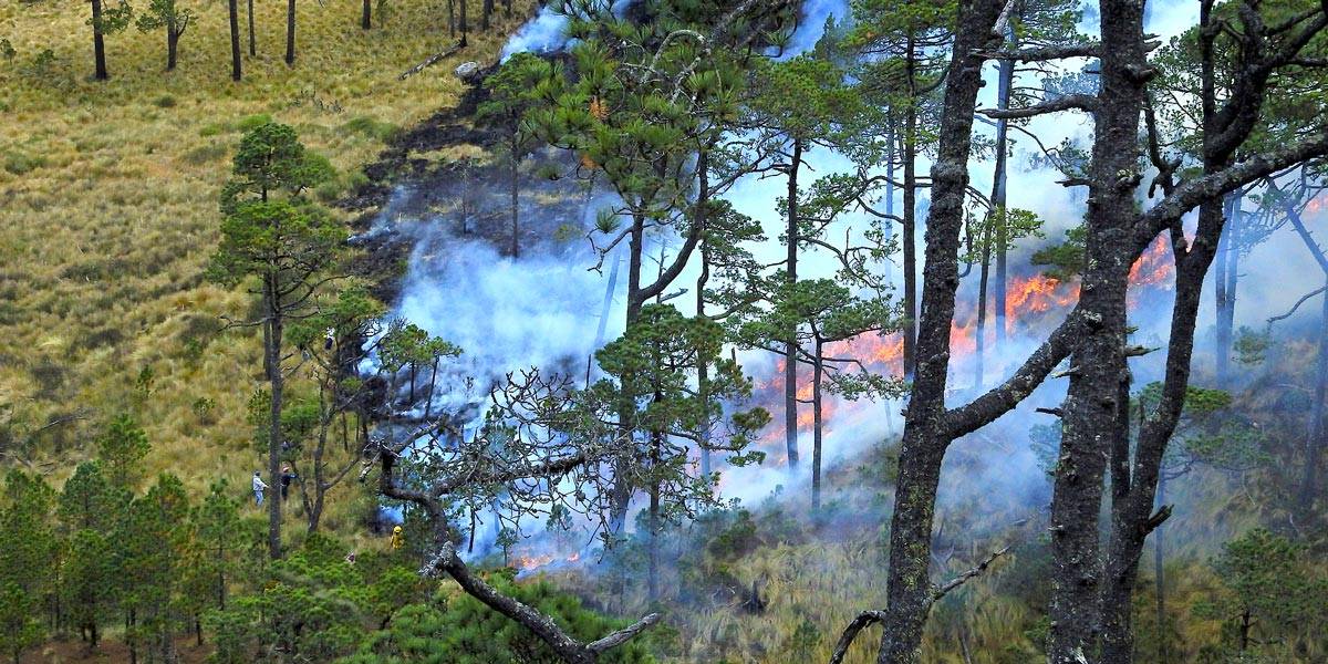
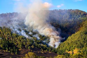
Forest Management

Logistics
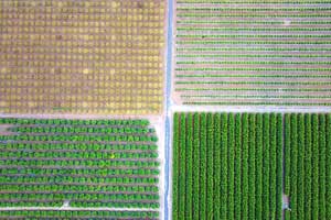
Agribusiness
Clarification

Security

Traffic

Critical Infrastructures

Maintenance of large equipment